Civil 3D Roadway Design
One of my more technical projects, I used Civil 3D AutoCAD to map out current roadway systems in Florida to help me get better at transportation design!
00

Problem
Roadway projects fail fast when geometry, surfaces, and corridor targets don’t stay coordinated—small changes can ripple into grading conflicts, drainage issues, or incorrect quantities. For this FDOT example, the challenge was accurately matching the prior design intent while managing Civil 3D complexity like targets, feature lines, and surface interactions without creating model instability.
Solution
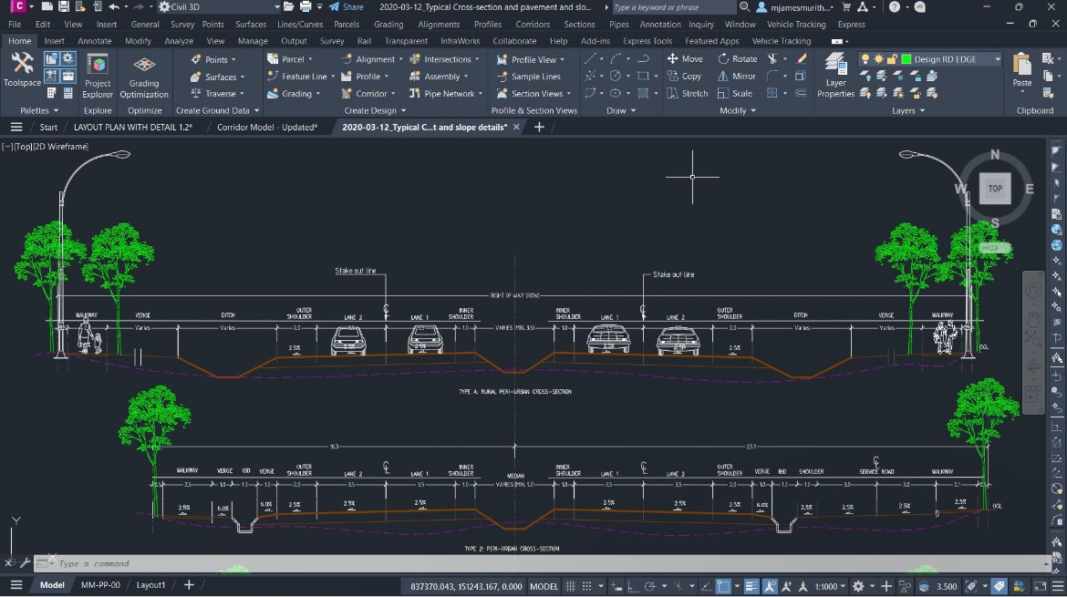
I rebuilt the roadway using a structured Civil 3D workflow: established existing ground and design surfaces, created the horizontal alignment and vertical profile, then generated assemblies and a corridor with consistent targeting and region controls. I validated the model using cross sections, slopes, and surface comparisons, then used the corridor outputs to support plan-quality deliverables and more reliable quantities.
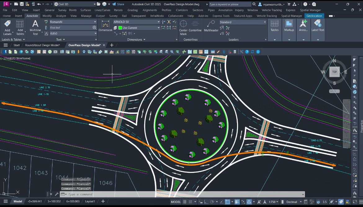
I’m drawn to transportation design because roads are one of the few systems almost everyone depends on every day, yet inefficiencies show up constantly—stop-and-go bottlenecks, confusing merges, and “quick fixes” that don’t scale. I’ve seen how a small geometric decision or poorly coordinated design can turn into real delays, higher construction costs, and worse safety outcomes. That’s why I care about efficient roadway modeling: when the design is disciplined and data-driven, you can reduce rework, improve constructability, and deliver infrastructure that actually moves people better.
Year
2025-2026
Timeframe
1 month
Tools
Civil 3D CAD
Category
Personal Project
01

02

03
04

05

see also


